


Click an illustration to enlarge it.
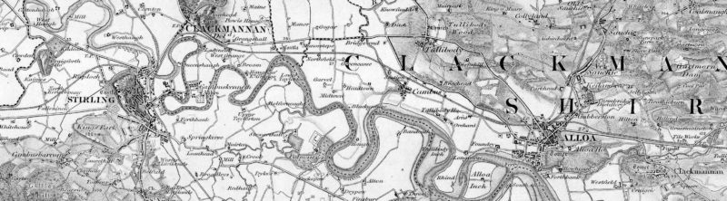
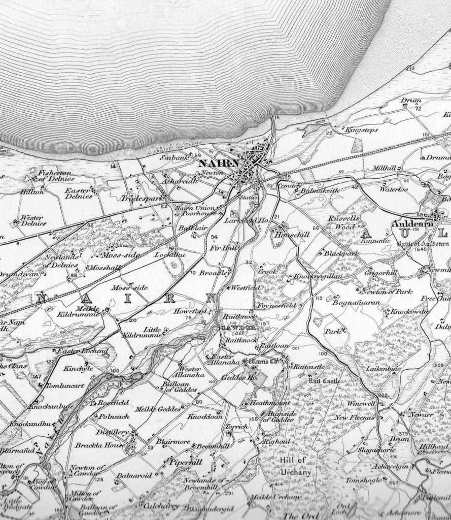
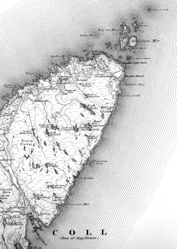
Surveyed 1845-78, and published between 1856-87 on 132 sheets (including 57A). Mapped area on each sheet is 24 by 18 inches, (covering 24 by 18 miles).
We have a large number of these maps as flat sheets in good condition. Further details will hopefully appear soon, but in the meantime please contact us with your requirements.
Full details of this series, and over 1,000 other map series, including all the variant editions, and any related district maps can be found in Ordnance Survey small-scale maps : indexes 1801-1998 by Roger Hellyer. Far more than just index diagrams.